Blog
The Infrastructure Institute blog features reflections from staff and guest contributors that explore various elements of global urban infrastructure.
Building a Mystery: How Public City of Toronto Maps Make Me Feel like a Detective
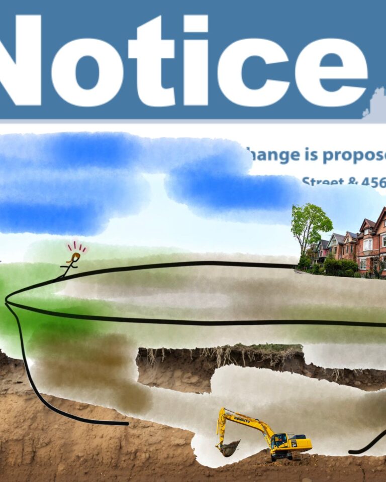
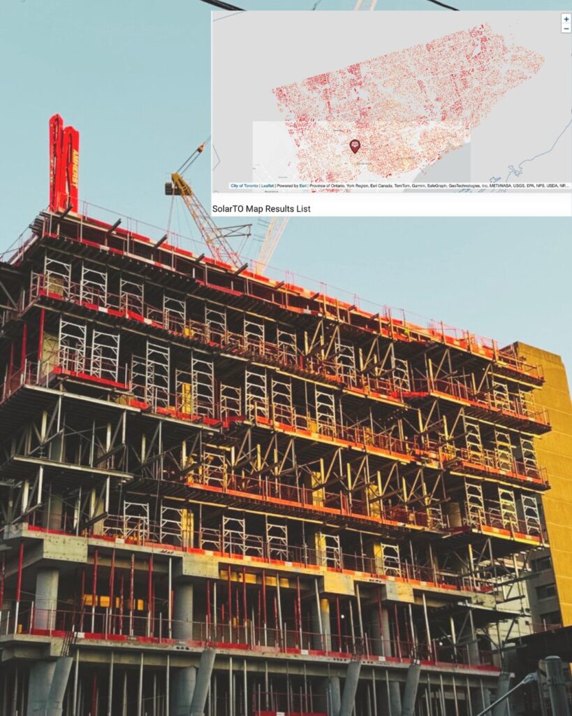
Pictured above: a digital collage depicting urban construction curiosity, made by the author, and a photo of a construction site with a screenshot of the SolarTO Map overlayed in the top right corner.
By Tait Gamble
May 2026
In one of my earliest memories, I’m across the street from my childhood home, peering through a fence down into a construction pit. Gripping the chain link, smushed between several neighbourhood kids, I poke my nose through the fence to get a better look. The pit interrupts the cadence of our street, which is otherwise predictably lined with red brick semi-detached homes. In my memory, the pit is an impossibly deep and vast gorge. It’s early evening so no one is onsite, but there are tell-tale traces of the day’s earlier activities. A yellow excavator tips against the pit’s crumbly soil and gravel walls. An assortment of white and grey pipes is stacked across its floor.
Sitting inside this memory now, I still feel a little thrilled, like I’m seeing something I shouldn’t.
Now I know what the ground looks like under my house.
More recently, I’ve had the delight of watching a marvellously deep construction pit at St. George and Bloor bloom into a 30+ storey mixed-use condo building. A previous pit I would peruse at Ossington and Bloor is now a mid-rise condo building. So you can imagine my excitement when, a few months into planning school, I learned about the Application Information Centre (AIC). Hosted on the City of Toronto website, the AIC provides information about all city Community Planning, Committee of Adjustment, and Toronto Local Appeal Body applications. It includes the decision histories, project milestones and beyond, of all proposed, approved and in progress construction applications. Evidently, my fascination with construction sites and sights endures.
Now I can anticipate construction sites I can visit near me – even before construction begins!
The Application Information Centre helps me feel engaged in what’s happening development-wise in Toronto. It’s a different way I stay civically engaged beyond reading local news or attending public meetings and Town Halls, virtually or in person, when I can. Exploring the AIC map makes me feel how I felt when I was little, peering into the construction site at the fence: detective-esque, with secret intel to the “what’s to come.”
But, now, it’s not a matter of detective-esque, secret intel – I was taught where to look! With this in mind, I’ve put together some of my favourite publicly accessible maps and portals on the City of Toronto website that I continue to use to learn more about the city, in hopes that they might help you nurture your city detective side and learn something new!
Publicly Accessible Maps and Portals
1. Application Information Centre (AIC)
While I’ve sung its praises above, I won’t stop talking about my favourite portal, the AIC. Here, you can access the reports and documents prepared as part of development applications. My favourite document to peruse is the Planning Rationale because it orients me to the project, taking me through relevant land use policy for the project and site. If you’re curious about what the project might look like, you can download the 3D Modelling and Architectural Plans. Recently, a friend reached out asking about ways to find out sustainability information about proposed developments. You can do that too! Check out the Green Standards Checklists or Energy Efficiency reports. If you want to know more about the proposals’ implications for parking, wind, trees, and municipal services, you can check out those reports, as well.
2. Bridge & Structure Condition Map
Peruse the condition, age, and inspection results of road and pedestrian bridges and other structures like tunnels in Toronto. Just when I thought the only enclosed pedestrian bridge at my disposal was the Rudy Adlaf Bridge, which stretches over Queen St West to connect Eaton’s Centre and the (former) Hudson’s Bay building, this map unlocked 346 more pedestrian bridges in the city of Toronto I could explore!
3. Park & Recreation Facility Projects
This past fall, in my walks around the West End, I encountered a high volume of playground improvement projects due to my new habit of stopping at every public notice I’d see. Seemingly, squirrels in parks to dogs, are public notices in parks to me, but discovering the Park & Recreation Facility Projects map allowed me to seek out current and recently completed park and recreation facility project sites, in addition to stumbling upon them organically in my neighbourhood. Search by project type, status and your ward to see if there are any active Master Plans or Studies at play in the area, or plans for a new community recreation center, parks, improvements or repairs planned!
4. T.O.INview (Infrastructure Viewer)
TO INView, or the Infrastructure Viewer, is an interactive map that shows where water, TTC, utilities and other major capital works are planned for each year. When I was cycling down Clinton St. last fall and encountered streams of blue hoses, a quick perusal of this map let me know that what I’d seen might have been traces of the active Watermain Replacement in the area…
5. Wastewater Energy Map
Speaking of watermains, curious about our city sewers? Look no further than the Wastewater Energy Map. Search for an address to view sewers near you.
6. SolarTO
City maps don’t stop at infrastructure! Have you ever wondered about the solar potential of your roof? What if I told you you could find out via the SolarTO map? Enter a Toronto address to learn about the energy production potential of your property, including environmental and estimated financial benefits.
The city has also mapped Public Art and Accelerators, Incubators & Coworking Spaces. With warmer weather not too far away, you can start plotting locations to check out on the CaféTO map and check out updated cycling infrastructure on the Cycling Networks Map.
For more City of Toronto Maps, such as BIAs, heritage designations, ravines and more, check out this directory.
For a deeper look at socially engaged design methods and how architects can help bridge gaps between residents and developers, tune into the Good for Cities episode “Is Mission-Driven Design Good for Cities?”
About the author:
Tait Gamble (MsP) is an urban planner with experience in land use planning, policy development, and public engagement from her time with a regional government in BC and the Ministry of Municipal Affairs in Ontario. As Project Coordinator with the Accelerator program at the Infrastructure Institute, she works with non-profits to advance their social purpose real estate projects through the pre-development stage. When she is not perusing the Application Information Centre, and other various publicly accessible municipal maps, she can be found delivering newspapers for a local non-profit periodical, and knitting furiously.